Maps & Atlases
RRP:£10.99
In stock
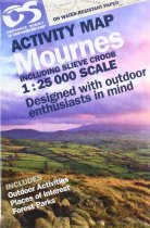
The Mournes including Slieve Croob in detail - tracks, cliffs, climbs, the Wall etc....
Please log in to see your price
Stock No:
45747
RRP:£10.99
In stock
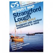
Outdoor pursuits map and navigation guide for Strangford Lough, with easy-to-follow...
Please log in to see your price
Stock No:
53965
RRP:£14.99
In stock
Outdoor pursuits map and navigation guide for Strangford Lough, with easy-to-follow...
Please log in to see your price
Stock No:
53830
RRP:£7.99
In stock
Identifying each archaeological period using different symbols and colours, this...
Please log in to see your price
Stock No:
49588
RRP:£7.99
In stock
Tourist map at 1:100000 scale covering Bute, Cowal, Kintyre and Lorn
Please log in to see your price
Stock No:
56333
RRP:£3.99
In stock
Handy little full colour map of Arran, Bute and Kintyre. Includes clear mapping with...
Please log in to see your price
Stock No:
59307
RRP:£2.50
In stock
Street map with index for Aviemore, Carrbridge, Grantown-on-Spey, Kingussie, Newtonmore
Please log in to see your price
Stock No:
56321
RRP:£6.99
In stock
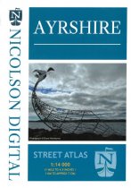
Street mapping in atlas form covering towns & villages throughout Ayrshire
Please log in to see your price
Stock No:
56329
RRP:£4.95
In stock
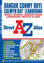
This atlas contains 37 pages of coloured street mapping that cosists of separate...
Please log in to see your price
Stock No:
57355
RRP:£3.99
In stock
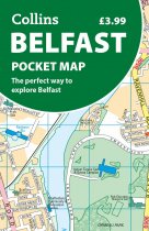
Discover new places in Belfast with this handy pocket map from Collins
Clear mapping...
Please log in to see your price
Stock No:
12403
RRP:£6.95
In stock
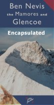
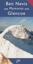
Ben Nevis the Mamores and Glen Coe Map 3cm : 2 km - encapsulated.
A Laminated Flat map.
Please log in to see your price
Stock No:
56259
RRP:£5.75
In stock
Ben Nevis the Mamores and Glen Coe Map 3cm : 2 km
Please log in to see your price
Stock No:
41745

