English Walking Maps
RRP:£9.99
In stock
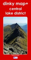
The new Dinky Maps published by Dorrigo feature Ordnance Survey scale mapping
Please log in to see your price
Stock No:
58731
RRP:£5.95
In stock
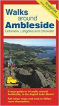
A map-guide to 14 walks around Ambleside, Grasmere, Langdale and Ellerwater, in the...
Please log in to see your price
Stock No:
54283
RRP:£5.95
In stock
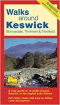
A map-guide to 16 walks around Keswick, in the English Lake District
Please log in to see your price
Stock No:
54285
RRP:£5.95
In stock
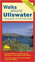
A map-guide to 15 walks around Ullswater, in the English Lake District
Please log in to see your price
Stock No:
54286
RRP:£5.95
In stock
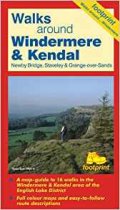
A map-guide to 16 walks in the Windermere & Kendal area of the English Lake District
Please log in to see your price
Stock No:
54282
RRP:£9.95
In stock
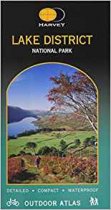
Revised Edition. The Atlas combines in one volume detailed mapping of the whole of the...
Please log in to see your price
Stock No:
53443
RRP:£6.99
In stock
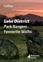
Walking guide to the Lake District National Park, with 20 best routes chosen by the...
Please log in to see your price
Stock No:
59303
RRP:£12.95
In stock
Lake District Trail Running is a comprehensive guide to off-road running in the Lake...
Please log in to see your price
Stock No:
56740
RRP:£8.95
Currently out of Stock
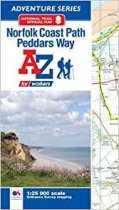
The A-Z Adventure series features the accuracy and quality of OS Explorer mapping in a...
Please log in to see your price
Stock No:
53034
RRP:£6.99
In stock
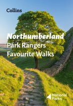
Walking guide to the Northumberland National Park, with 20 best routes chosen by the...
Please log in to see your price
Stock No:
59304
RRP:£7.95
Currently out of Stock
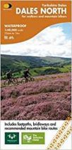
This map covering Swaledale, Wensleydale, Hawes and Reeth for walkers and mountain...
Please log in to see your price
Stock No:
53381
RRP:£11.99
Currently out of Stock
This A-Z Adventure Atlas of the Peak District (Dark Peak) features 50 pages of...
Please log in to see your price
Stock No:
13013

