Scottish Regional
RRP:£6.95
In stock
An encapsulated detailed easy to use colour map with unique 3-D shaded relief. Scale 1...
Please log in to see your price
Stock No:
56267
RRP:£3.99
In stock
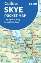
This handy full-colour map of Skye shows the road network of the island, ferry ports,...
Please log in to see your price
Stock No:
51402
RRP:£5.75
In stock
Provides a colour map of the islands of St Kilda in 3D relief with in-depth information...
Please log in to see your price
Stock No:
38047
RRP:£10.95
In stock
This high quality topographical map is specially designed to show the 'Big Picture' for...
Please log in to see your price
Stock No:
46035
RRP:£7.99
In stock
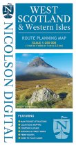
The Nicolson Digital West Scotland & Western Isles Route Planning Map is the latest...
Please log in to see your price
Stock No:
12110
RRP:£15.50
In stock
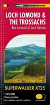
Ideal for exploring the whole of the Great Trossachs Forest and Queen Elizabeth Forest...
Please log in to see your price
Stock No:
59209
RRP:£11.50
In stock
The Ultramap covers a large area yet is small enough to slip in a pocket.It is a fully...
Please log in to see your price
Stock No:
56413
RRP:£14.95
In stock
The idea for the Yellow Map Atlas arose from a frustration with GPS devices that have...
Please log in to see your price
Stock No:
71154

